


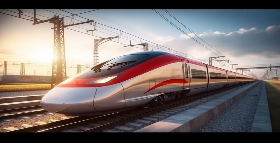
Scan to CAD for Railway Stations
VectorQX was commissioned to create high-precision 2D as-built documentation for an aging metropolitan railway station to facilitate a multi-million dollar modernization and accessibility upgrade.
The Challenge
- Inaccessible Geometry:
- Traditional surveying methods were impossible due to the station’s complex Victorian-era architecture and high-density passenger flow.
- Accuracy Requirements:
The renovation required sub-centimeter accuracy to integrate modern elevator shafts and platform extensions into existing structural skeletons.
Zero Downtime:
All data collection had to occur without disrupting active train schedules or commuter safety.


The Solution
- Terrestrial Laser Scanning (TLS):
- Our team deployed high-speed 3D laser scanners to capture millions of data points (Point Cloud) during off-peak hours.
- Point Cloud Processing:
We indexed and registered the raw scan data to create a unified, georeferenced digital replica of the station.
CAD Extraction:
Our engineers meticulously converted the point cloud data into detailed 2D CAD architectural plans, including floor plans, structural sections, and reflected ceiling plans (RCP).


The Result
- 100% Accuracy:
- Eliminated the “guesswork” of legacy paper drawings, providing a “single source of truth” for the design team.
- Time Savings:
Reduced the site survey duration by 65% compared to traditional manual measurement techniques.
Risk Mitigation:
Identified several structural misalignments in the existing platforms before construction began, saving an estimated 12% in potential rework costs.


Insights / Case Studies
Latest Case Studies

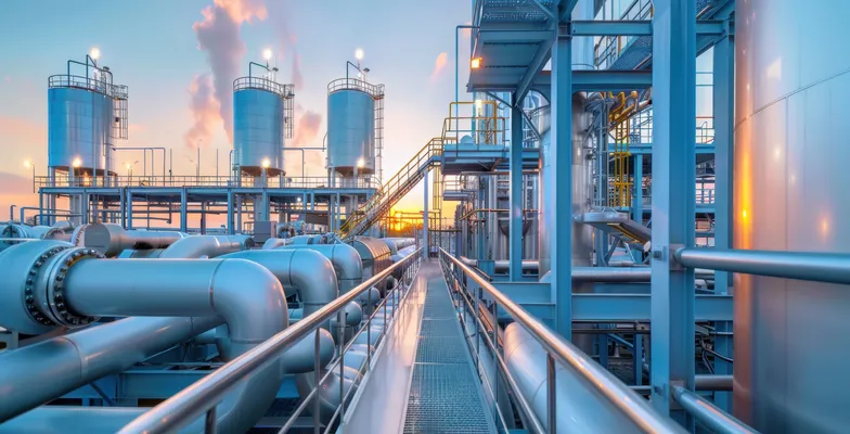
Scan to BIM for Oil & Gas Plant
Store Design for Leading International Retailer


